


Land monitoring and artificial intelligence: indicators and strategies against desertification in Mediterranean environments (MED-GeoSoil)
FEDER
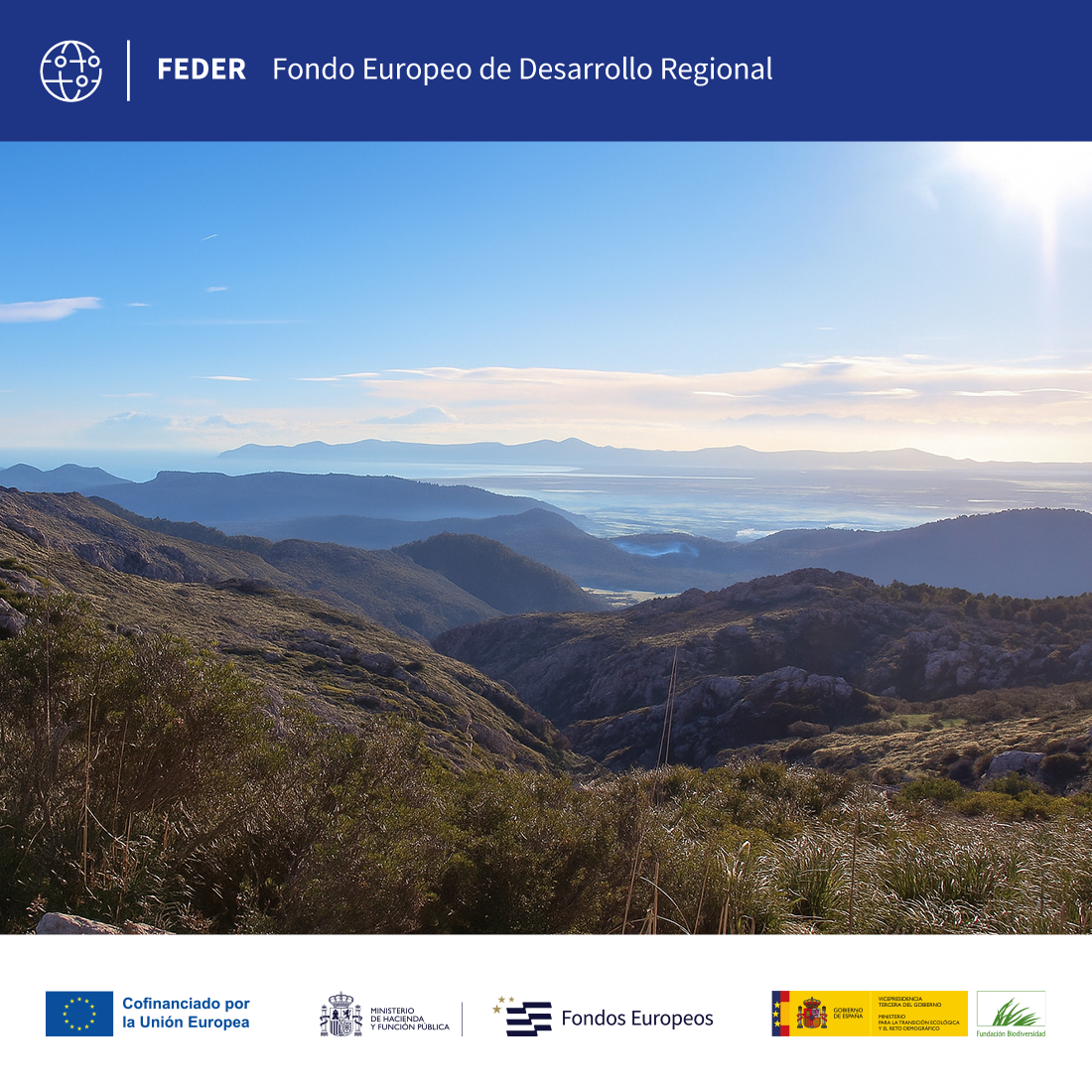
The project addresses soil erosion and degradation in the Balearic Islands, aggravated by human pressure, agricultural abandonment and climate change. It focuses on the Sant Miquel torrent basin (Mallorca), where hydrosedimentary flows will be evaluated using hydrometry and machine learning algorithms. In addition, an autonomous sediment tracing system will be developed supported by soil spectrometry and remote sensing. The integration of these data will allow modelling the ecogeomorphological response and defining critical degradation thresholds, supporting sustainable management and feeding the RiscBal viewer, in line with the Water Framework Directive and the EU soil protection strategy.
Line of action:
Knowledge generation and managementStatus:
En ejecuciónLocation:
Balearic IslandsGeographic scope:
EspañaLine of research:
Desertification and land degradationExecution date:
2025Duration:
01/10/2025 - 30/09/2028Total budget:
€399,240.52Amount of aid from the Biodiversity Foundation:
€239,544.31 (60%)Coordinating entity:
University of the Balearic IslandsThe proposal is of decisive strategic importance in addressing soil erosion and degradation in Mediterranean territories, where the fragility of ecosystems and anthropic pressure aggravate the impacts of climate change. Through the integration of long-term data, advanced ecogeomorphological modelling and artificial intelligence, the project will make it possible to detect critical erosion points, anticipate risk scenarios and establish thresholds for soil degradation and sediment transport. Its multi-scale approach, applied at the basin scale, strengthens socio-ecological resilience, contributes to compliance with the Water Framework Directive and the National Plan to combat desertification, and generates direct transfer of knowledge to Balearic society through the RiscBal monitoring network.
To improve the tools for analyzing, monitoring and forecasting the processes of land degradation and desertification in the Balearic Islands, with a comprehensive and adaptive approach taking into account different climate change and land use scenarios.
The project combines long-term data collection, experimental analysis and advanced modelling to address land degradation in Mediterranean environments. A database of more than 13 years on runoff and sediment transport will be built, applying machine learning algorithms to improve load prediction. In addition, spectrometric and physicochemical analyses of the soil will be carried out, along with remote sensing data and an autonomous monitoring system to trace the origin of sediments. The ecogeomorphological modelling will allow the generation of global change scenarios, identify critical degradation thresholds and feed the RiscBal network to optimise environmental management.

Land monitoring and artificial intelligence: indicators and strategies against desertification in Mediterranean environments (MED-GeoSoil)
 back to search
